SERVICES
INCREASE YIELDS AND TOTAL REVENUE BY APPLYING COMPLETE IT SOLUTIONS FOR MANAGING AGRICULTURE PRODUCTION PROCESSES AND ALL TYPES OF SOILS
-
GIS
Module that provides simple and efficient management of all types of digital maps, with completely predefined information on lots, crops and soil. It contains a large number of features: intelligent search algorithms, GIS editor, data import and further distribution with unlimited number of map layers and attributes.
-
INTEGRATED AGRICULTURE IT SOLUTION
A solution for recording and managing the entire process of agriculture production both on the level of individual plants and crops and on the level of entire corporate process within the advanced online environment. It contain a module for financial data management that easily integrates with SAP and other business applications within your IT system. You can increase yields and total revenue, reducing risk at the same time if you apply the integrated agriculture IT solution.
-
GPS TRACKING SYSTEM
Greensoft has developed GPS tracking system consisting of dedicated hardware and software for Intelligent Vehicle Location detection. Basic features are: driver's identification, GPS location detection of farming machines, geo fencing, parcel identification, speed tracking and fuel consumption. Existing features are fully customizable, while additional features can be developed in accordance with your needs.
-
ISOBUS SUPPORT
Greensoft has developed a solution for agriculture machinery management based on ISOBUS standard. ISOBUS module collects data from the sensors built-in agriculture machinery and automatically registers the driver/machine, as well as pairs location of vehicles with belonging implements during the precision agriculture processes.
-
PRECISION AGRICULTURE
A module for Precision Agriculture enables seeding operations according to variability maps aiming at increasing the yields and costs optimization. Integrated with existing modules, it analyzes, calculates and measures using Satellite Imagery Analyses.
-
DIGITALIZATION & 3D MODELING
Greensoft provides digitalization services as well as UAV recording, underwater recording, creating 3D models of terrain, shoreline and bottom.

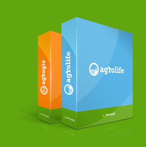
Increase your profit with AgroLIFE software package
READ MORE